
Site Management
Made Clear
ClerePlan is a geospatial management tool for anyone who looks after a site or runs an event. Record, plan and manage everything against the exact place it relates to.
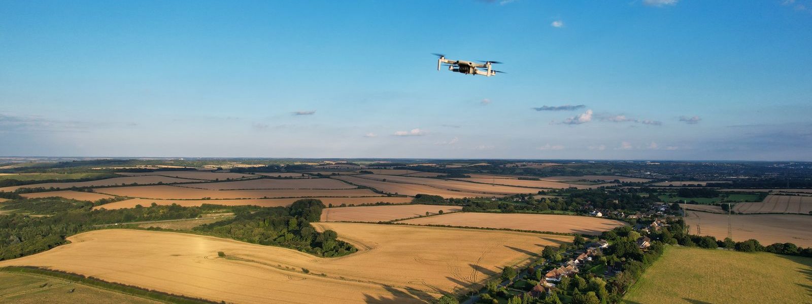
Record, plan and understand your site from one clear digital platform.
ClerePlan gives your team one place to manage the information that matters across your site.
Using a precise digital map, you can record work, track issues, manage assets and plan events, building a long-term record of the site. Buildings, zones, routes, utilities, safety issues, inspections, images and notes are all stored against the exact place they relate to.
That gives managers, operations teams and contractors a clearer view of the site, helping them plan work, improve communication, retain knowledge and make better decisions.
What it does
One precise map of your site
Map and measure
Outline buildings, zones, surfaces and routes, and get accurate areas and lengths instantly.
Record safety, security and ecology
Log hazards, incidents, inspections, access points and habitats where they are, with photos and actions.
Keep track of assets and services
Record water, drainage, power and data runs, valves, covers and plant, with condition and inspection dates.
Plan events and layouts
Draw temporary layouts to scale, save them by event and phase, and reuse what worked last time.
Share the right view
Give suppliers, advisers and visitors a clear map, without sharing everything else.
Choose your sector
Events · Stadiums · Quarrying · Schools · Showgrounds · Estates · Holiday parks. Each will have modules tailored to its own needs (coming soon).
Built on proven technology
From the team behind Clere Golf Hub
ClerePlan runs on the same platform as Clere Golf Hub, used to plan and manage some of golf's best-known venues and events.
Pricing
Try ClerePlan for FREE… or get started with one of our bundles
Essentials
£25 /month
Everything in Free, plus:
- Health & Safety module
- Security module
- Storage: 1GB
- Users: 1
Site
£60 /month*
Everything in Essentials, plus:
- Ecology module
- Assets & Utilities module
- One sector module (coming soon)
- Storage: 10GB
- Users: Up to 4
Event Pass: a single event workspace on the Site bundle for up to 3 months, from £149 per event.
Site Plus
£165 /month*
Everything in Site, plus:
- Plans & Layouts module
- All modules for your sector (coming soon)
- Training and support
- Storage: 100GB
- Users: Unlimited
Modules
ClerePlan core modules
If you don't need a bundle, you can simply buy individual modules when you need them.
Areas
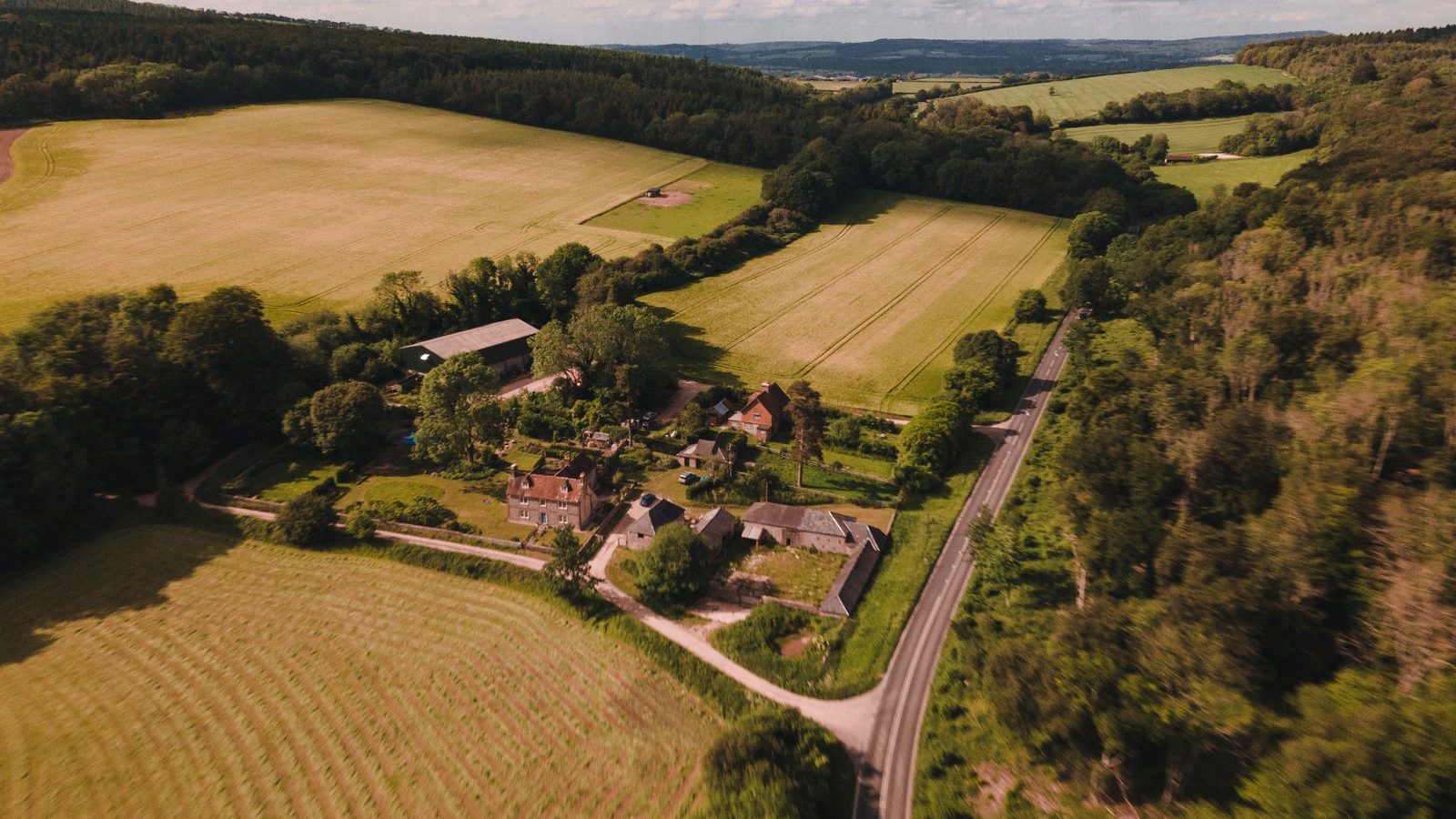
Map and measure buildings, zones, surfaces and routes, with areas and lengths calculated automatically.

Health & Safety
Record hazards, near misses, incidents, inspections and safety equipment on the site map.

Security
Bring access points, boundaries, cameras, patrol routes and incident histories together on one map.
Ecology
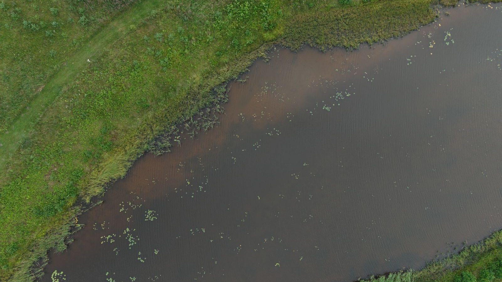
Record habitats, species sightings, protected features and conservation work against their exact location.
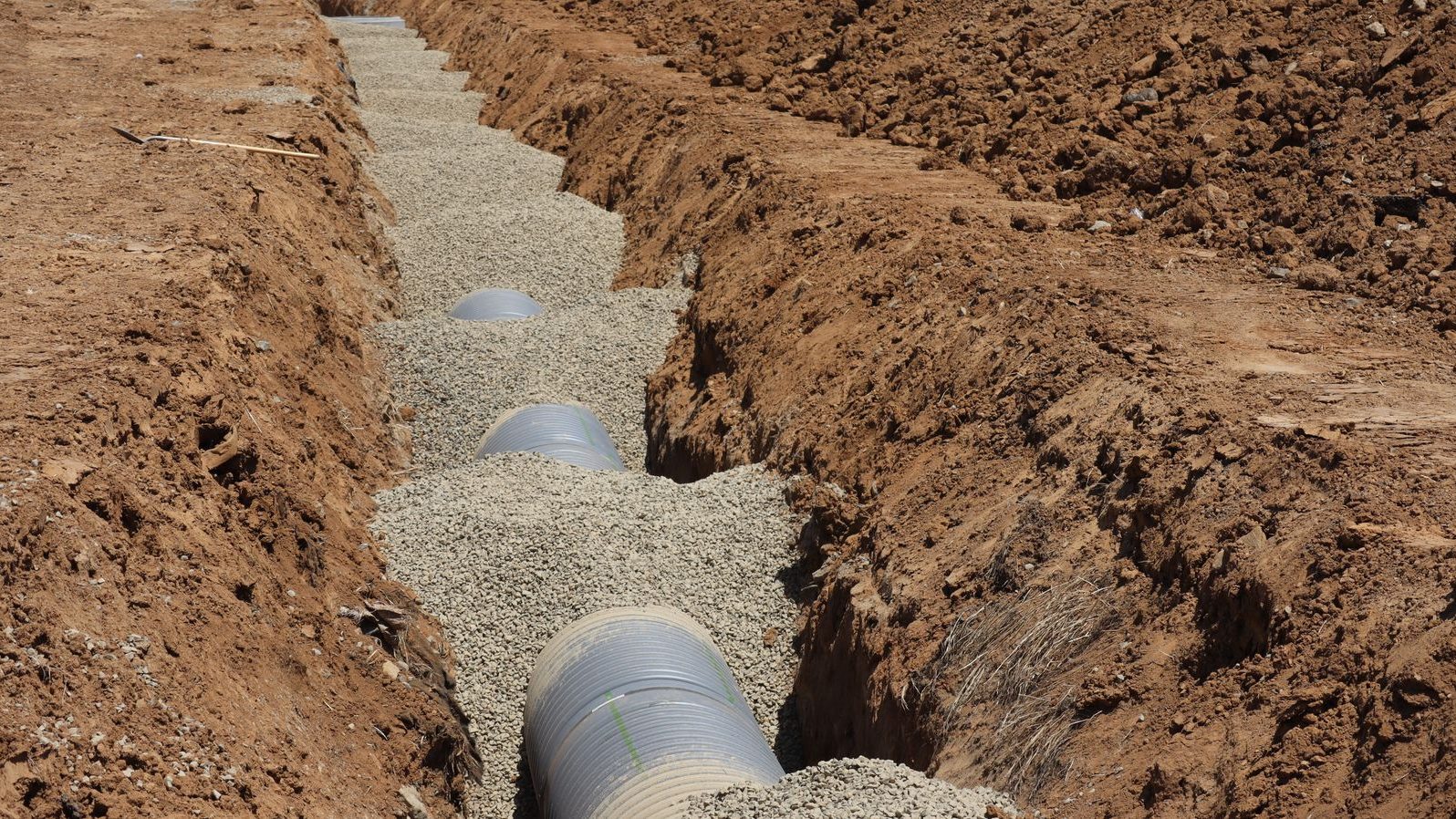
Assets & Utilities
Keep a location-based register of water, drainage, power and data runs, valves, covers, lighting and plant.
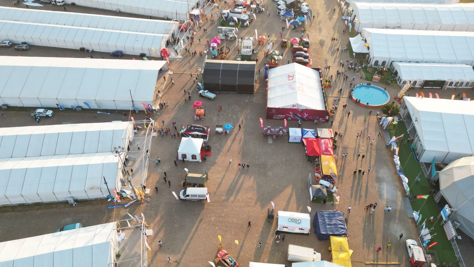
Plans & Layouts
Draw temporary layouts to scale, save them by event and build phase, and reuse what worked last time.
Sectors
Built for the sites you look after
See how ClerePlan helps in your sector, with sector-specific modules on the way.
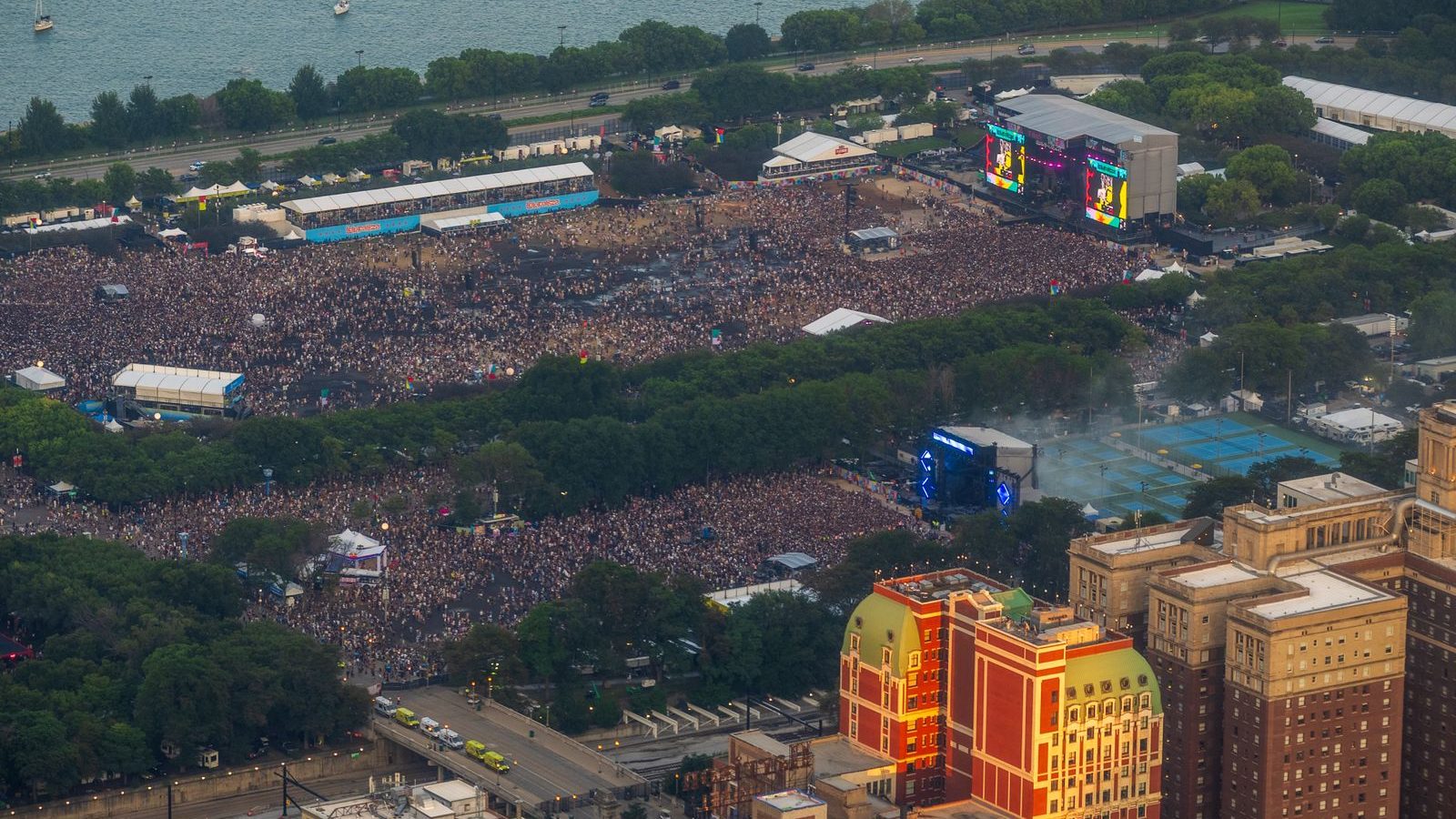
Events and festivals
Infrastructure, crowd routes, medical points and live operations on one map.

Sports stadiums
Ground safety, matchday operations and pitch care on one precise map.

Mining and quarrying
Faces, tips, haul roads, blasting and restoration, recorded where they are.
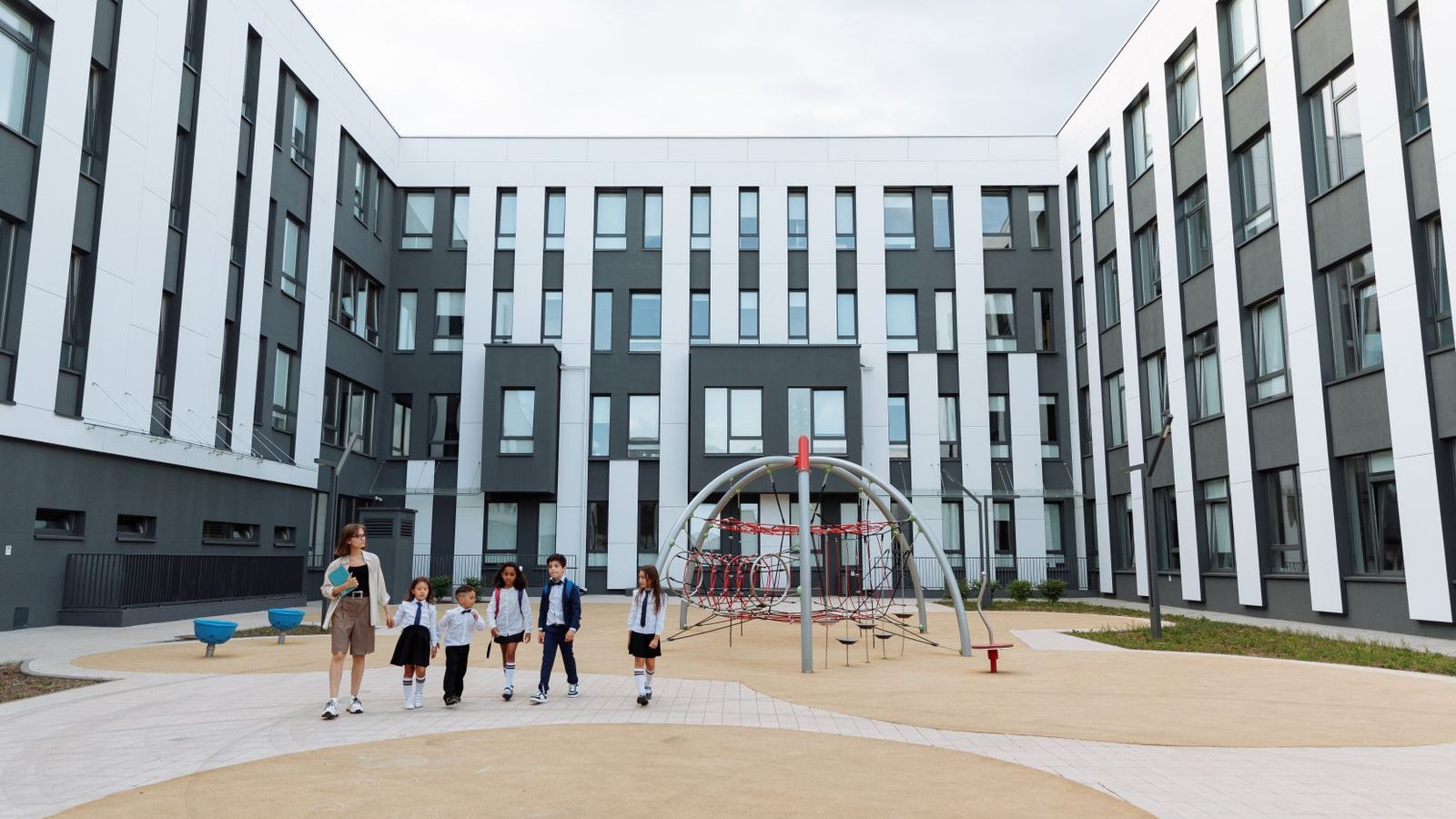
School and trust sites
Compliance, safeguarding, grounds and capital works across every school.

Showgrounds
Plots, rings, services, livestock and camping on one reusable map.

Estates and country venues
Trees, land, access, buildings, ecology and events on one precise map.
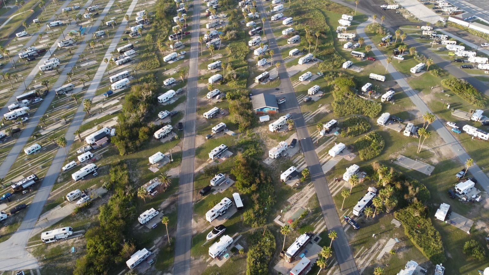
Holiday parks
Pitches, services, safety checks and leisure facilities, pitch by pitch.
All sectors
Compare which modules each sector uses
Partners
Partner Modules
We work with specialist companies to provide modules that use ClerePlan's geospatial monitoring and drawing tools, so you can bring their expertise into the same map as the rest of your site.
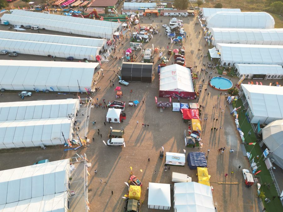
Event infrastructure and hire
Partner modules coming soon

Safety and compliance
Partner modules coming soon
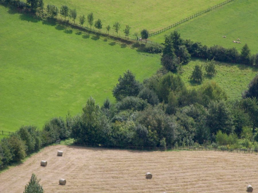
Sustainability and ecology
Partner modules coming soon

Survey and data
Partner modules coming soon

Dashboard
The ClerePlan Dashboard
The hub of ClerePlan is your dashboard. Here you can see and manage all your modules and sites, and add new ones as you need them. Site information, upcoming inspections and notifications are all visible from the dashboard, giving you at-a-glance updates.
Tell us about your site
Start free with the Areas module, or book a demo and we'll show you how ClerePlan could work for your team.