
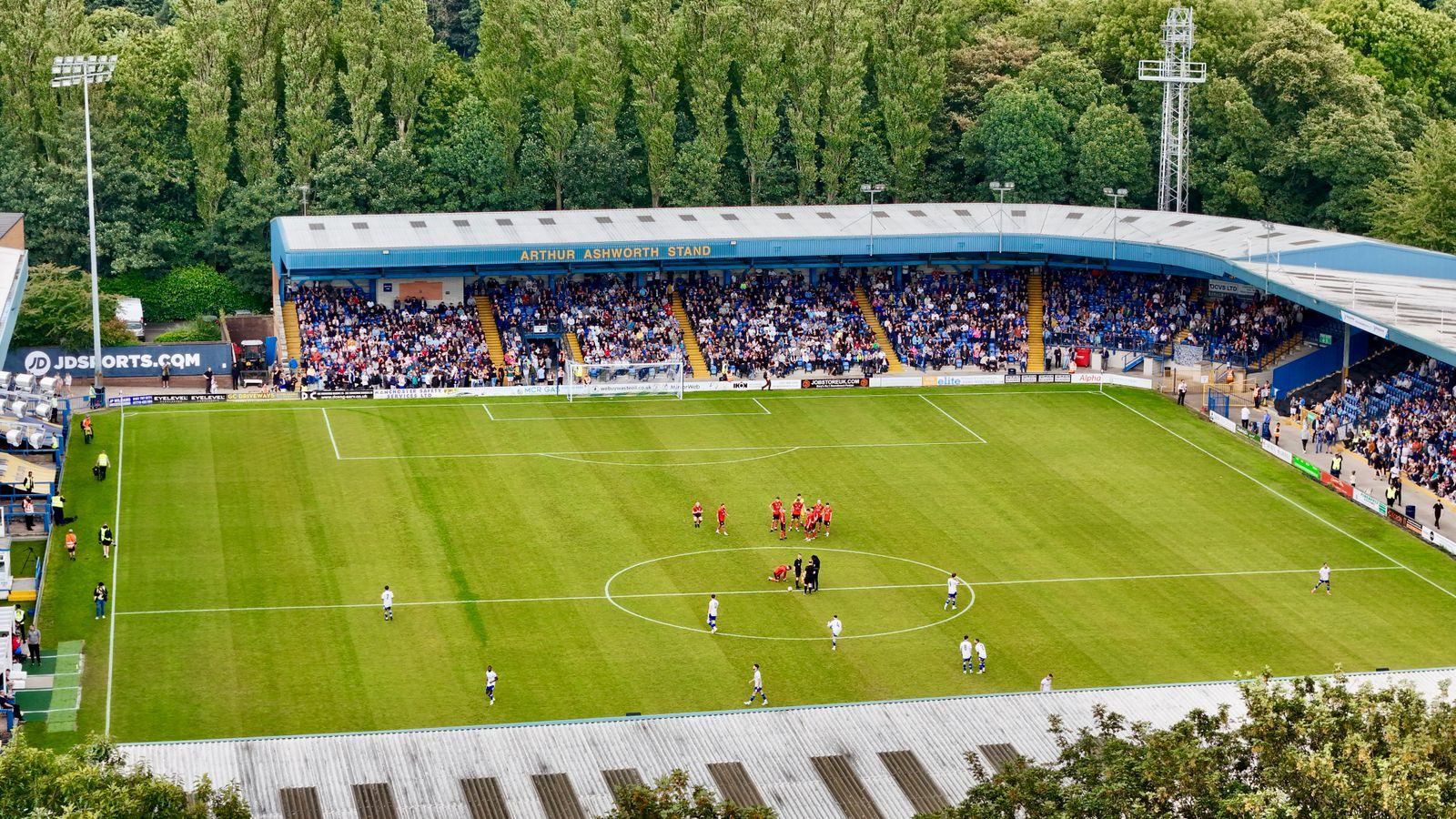
ClerePlan for sports stadiums
Your ground, mapped for every fixture
ClerePlan brings ground safety, matchday operations and pitch care together on one precise digital map, from the turnstiles to the playing surface.
The problem
Sound familiar?
Capacity and egress information held in drawings and spreadsheets that drift out of date
Steward deployment, checks and incidents recorded separately for every fixture
Non-match events and pitch renovations planned without one shared view of the ground
What you can do
How ClerePlan helps sports stadiums
Sector modules for sports stadiums are in development. Here is what they will let your team do, on the same map as the core modules below.
Your safety certificate, mapped.
The Ground Safety Module helps stadium safety officers map stands, sections, turnstiles, exits and egress routes, with capacities and calculation factors recorded against each area. Changes to layout, standing areas or certificate conditions can be tracked over time, giving clubs, local authority officers and advisers one clear, evidenced view of how the ground is configured and managed.
Every steward, post and incident in place.
Matchday Operations lets stadium teams plan steward deployment by post and zone, record pre-event safety checks and log incidents as they happen. Each fixture keeps its own record, linked to precise locations, so safety officers can compare events, brief staff more clearly and show how the ground has been managed from the turnstiles to the final whistle.
Turf records that build season on season.
The Pitch & Grounds Module, built on Clere's agronomy experience, helps grounds teams record renovations, treatments, wear, irrigation and drainage against the exact part of the pitch they relate to. That history makes it easier to compare what has worked, plan the next renovation and explain the condition of the playing surface to managers and event promoters.
Available now
Core modules for sports stadiums
Start with the free Areas module and add the core modules your site needs.
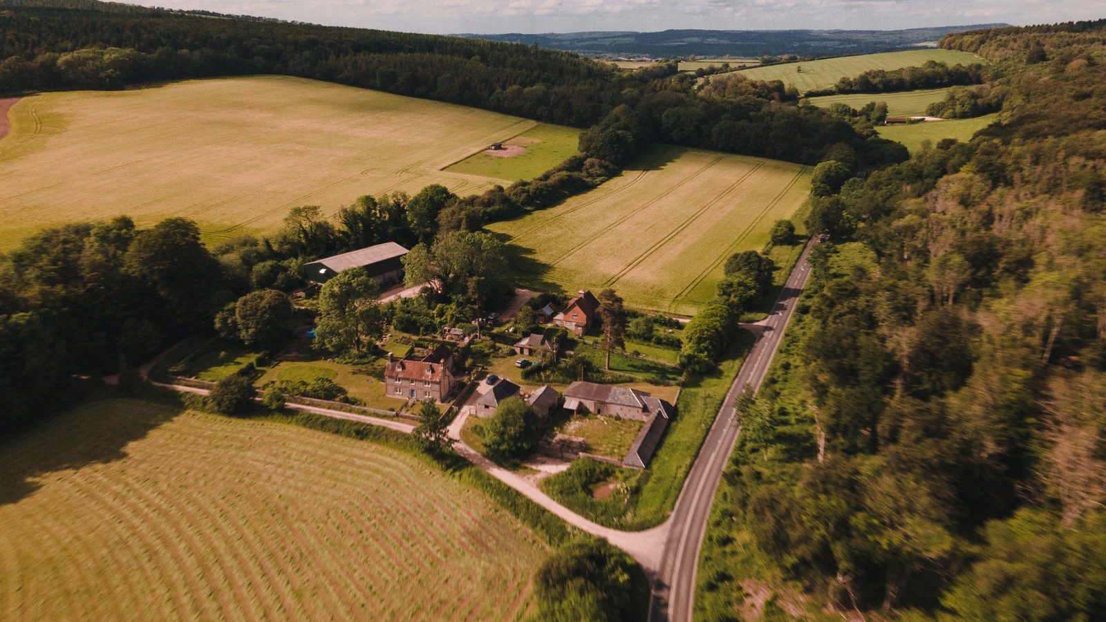
Areas
IncludedMap and measure buildings, zones, surfaces and routes, with areas and lengths calculated automatically.

Health & Safety
IncludedRecord hazards, near misses, incidents, inspections and safety equipment on the site map.
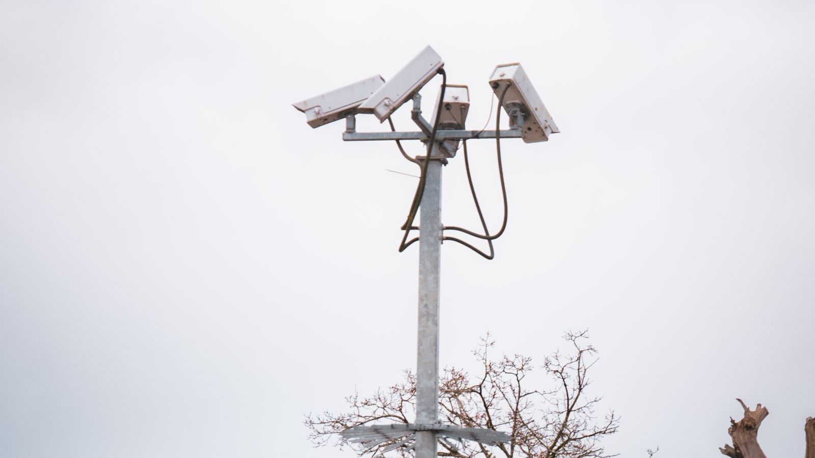
Security
IncludedBring access points, boundaries, cameras, patrol routes and incident histories together on one map.
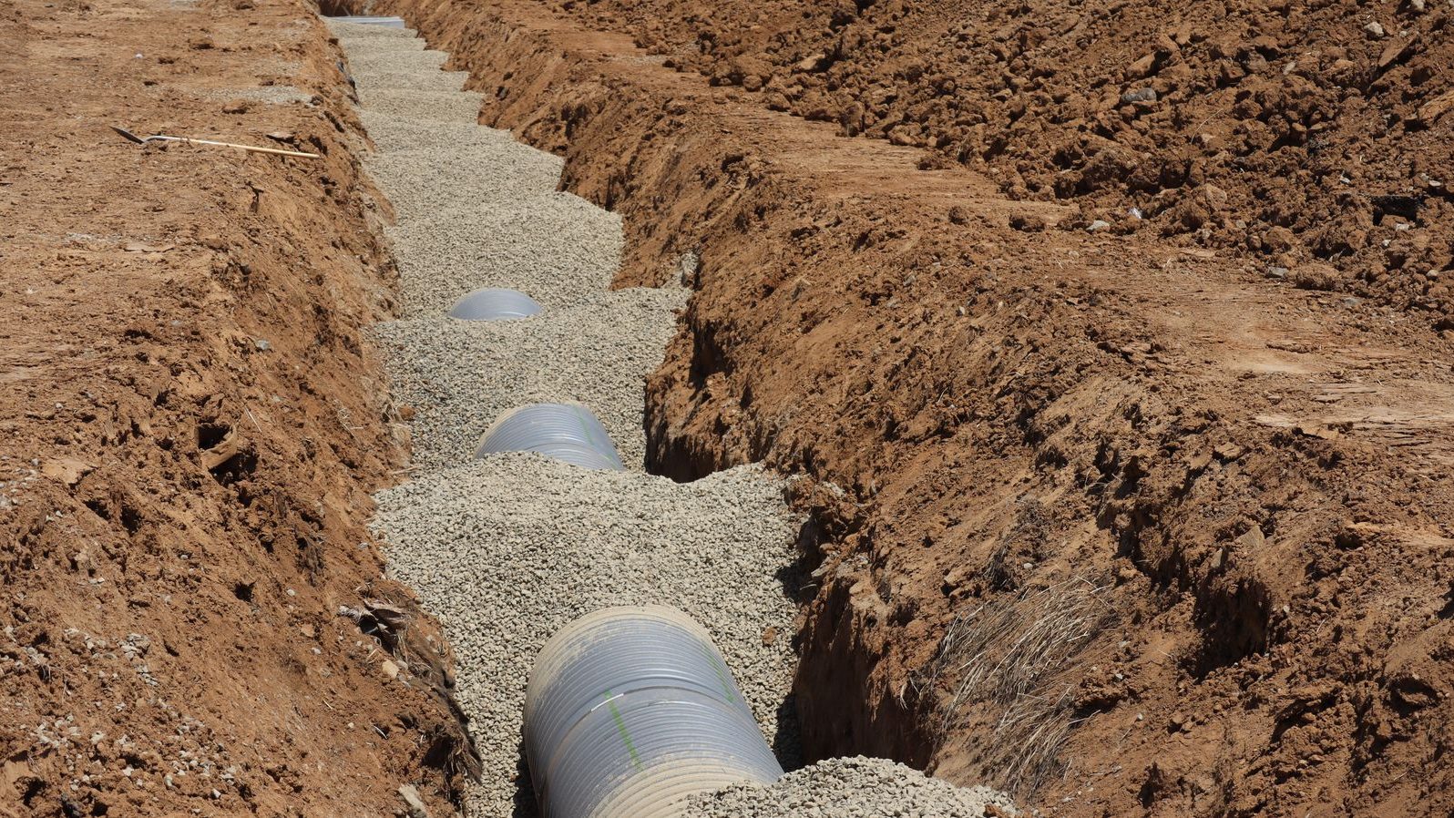
Assets & Utilities
IncludedKeep a location-based register of water, drainage, power and data runs, valves, covers, lighting and plant.
Plans & Layouts
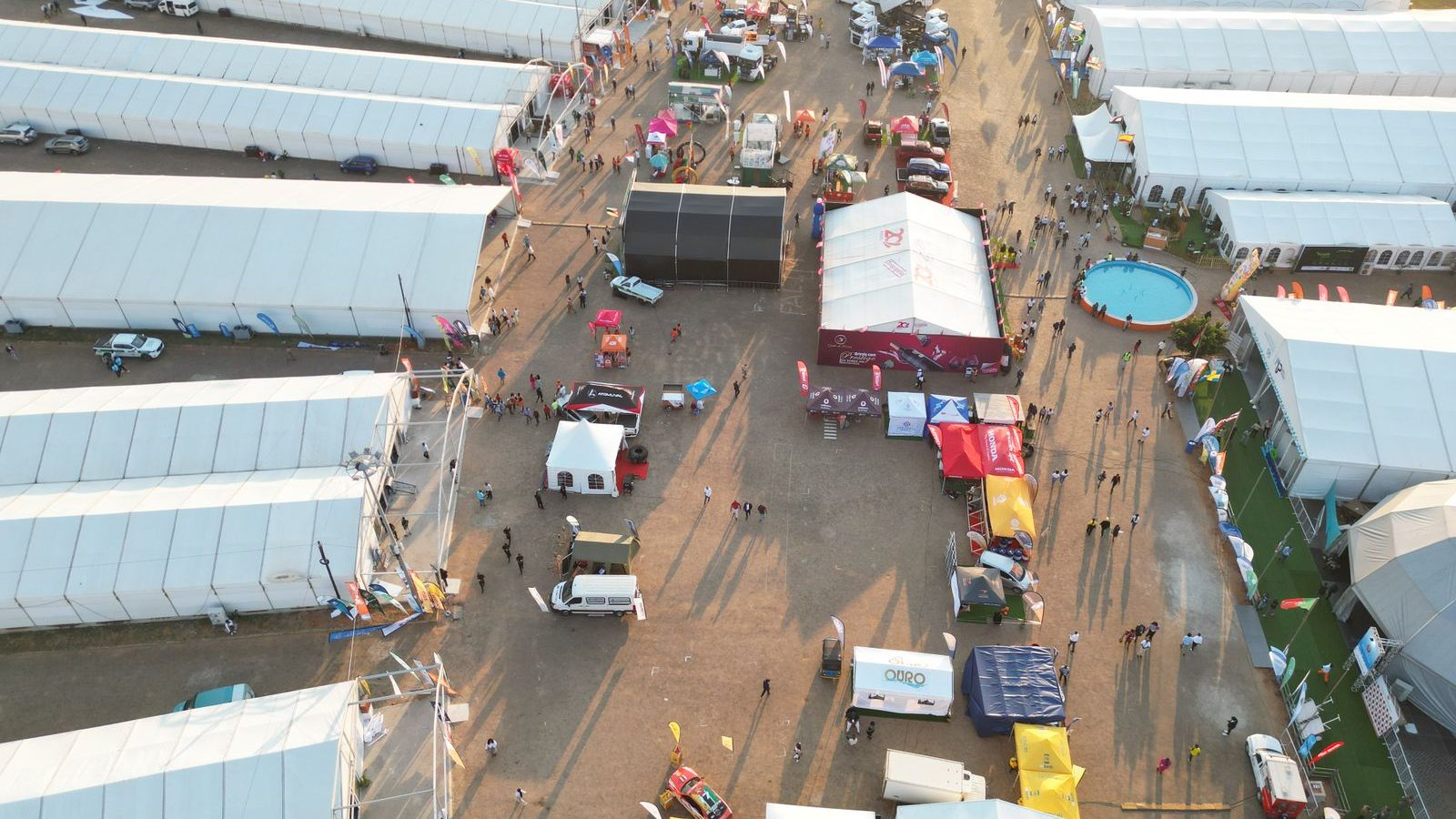
IncludedDraw temporary layouts to scale, save them by event and build phase, and reuse what worked last time.
Ecology
Optional add-onRecord habitats, species sightings, protected features and conservation work against their exact location.
Talk to us about your ground.
Built on proven technology: ClerePlan runs on the same platform as Clere Golf Hub, used to plan and manage some of golf's best-known venues and events.