

ClerePlan for showgrounds
One showground, every event, one map
ClerePlan keeps your plots, rings, services and safety records on one accurate map that you can reuse and refine for every show and hire.
The problem
Sound familiar?
The show plan redrawn every year, with plot changes tracked by hand
Services, livestock and camping arrangements held in separate documents
Hire events and the main show planned without a shared site record
What you can do
How ClerePlan helps showgrounds
Sector modules for showgrounds are in development. Here is what they will let your team do, on the same map as the core modules below.
Every stand, ring and plot, year after year.
The Plot & Trader Plan Module helps showground teams map trade stands, rings, avenues and service points, with plot numbers, sizes, exhibitors and hook-ups recorded against each one. Layouts can be reused and adjusted from show to show, giving organisers, exhibitors and contractors one accurate plan rather than a new drawing every year.
Animals, pens and biosecurity, mapped.
Livestock & Biosecurity lets show organisers map livestock lines, pens, isolation areas and wash-down points, and record movement paperwork and veterinary checks against them. Having the biosecurity plan on the same map as the rest of the show makes it easier to brief stewards, respond to animal health questions and keep a clear record after the event.
Well-spaced pitches, clearly mapped.
Camping & Caravan Fields helps teams lay out pitches for exhibitors, crew and visitors, with spacing, fire points, standpipes and routes drawn to scale. Pitch numbers and occupancy can be recorded against each plot, making allocation simpler and giving stewards and safety advisers a clear picture of how temporary camping areas are arranged.
Available now
Core modules for showgrounds
Start with the free Areas module and add the core modules your site needs.
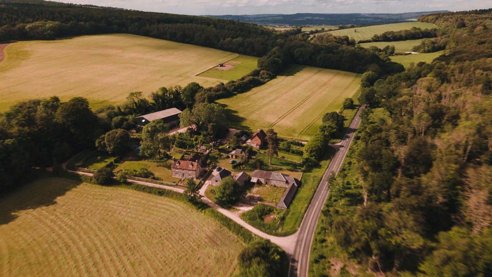
Areas
IncludedMap and measure buildings, zones, surfaces and routes, with areas and lengths calculated automatically.

Health & Safety
IncludedRecord hazards, near misses, incidents, inspections and safety equipment on the site map.

Security
IncludedBring access points, boundaries, cameras, patrol routes and incident histories together on one map.
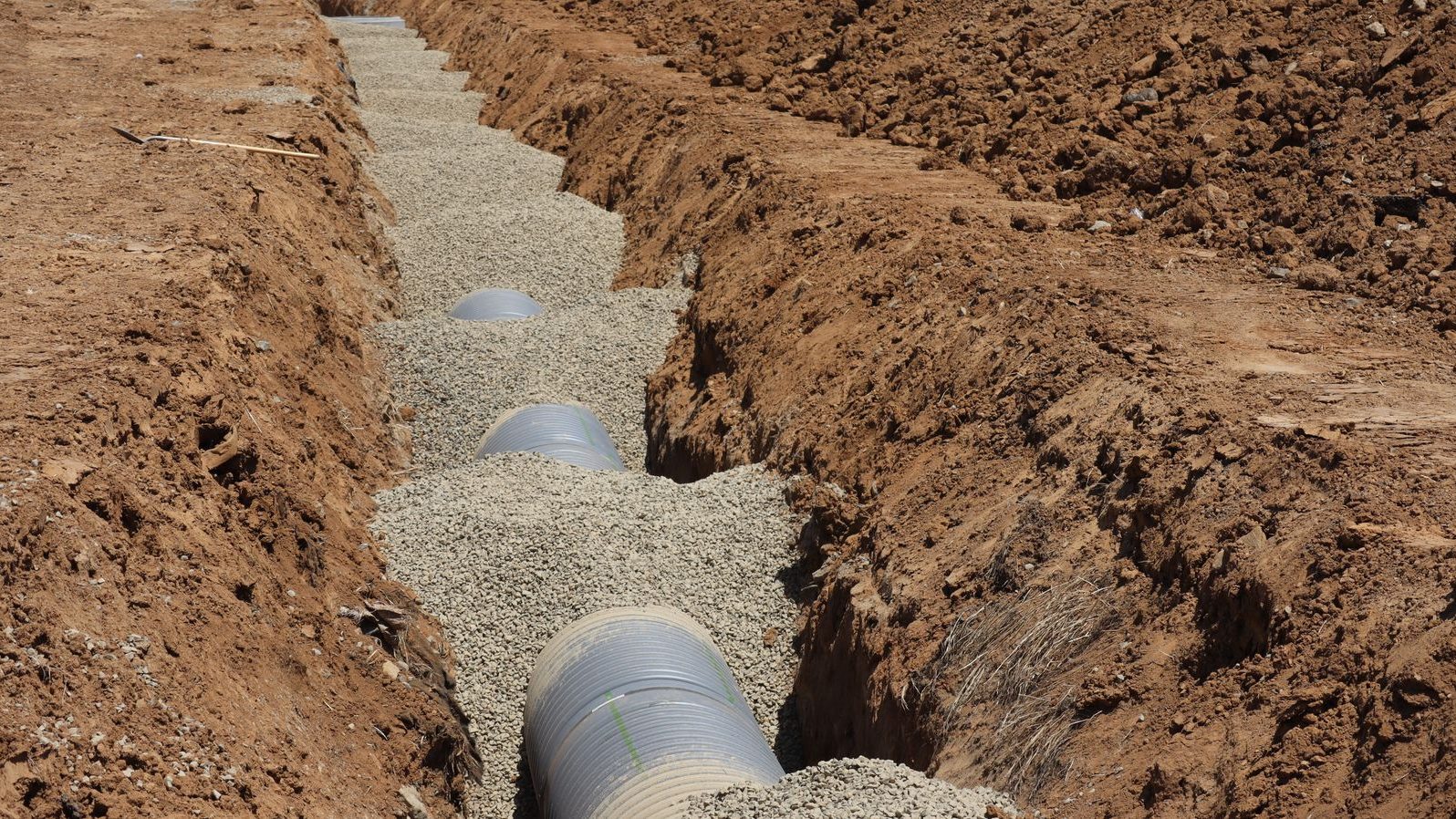
Assets & Utilities
IncludedKeep a location-based register of water, drainage, power and data runs, valves, covers, lighting and plant.
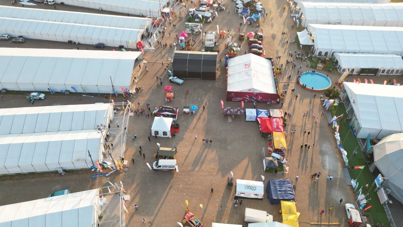
Plans & Layouts
IncludedDraw temporary layouts to scale, save them by event and build phase, and reuse what worked last time.
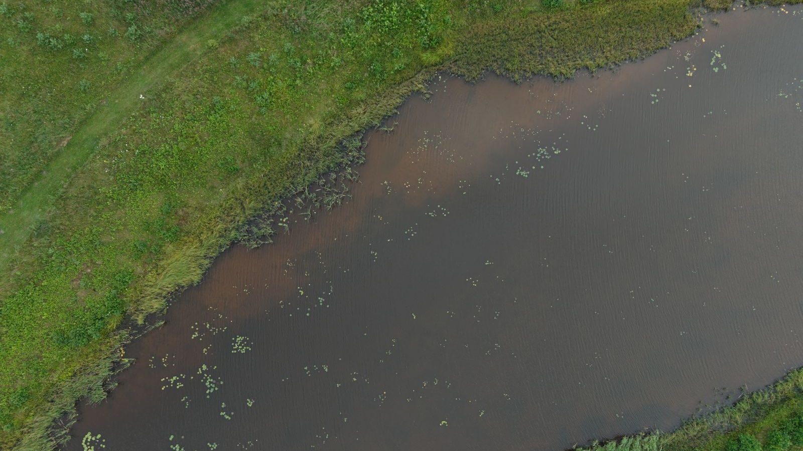
Ecology
Optional add-onRecord habitats, species sightings, protected features and conservation work against their exact location.
Map your showground. Book a demo.
Built on proven technology: ClerePlan runs on the same platform as Clere Golf Hub, used to plan and manage some of golf's best-known venues and events.