
Modules
ClerePlan Modules
ClerePlan brings together a suite of integrated modules that give you a complete view of your site. Built on precise geospatial data, each module helps your team record, plan and manage the site more efficiently, safely and sustainably.
If your site only needs support in a specific area, individual modules can be selected without committing to a larger package.
Module
Areas Module
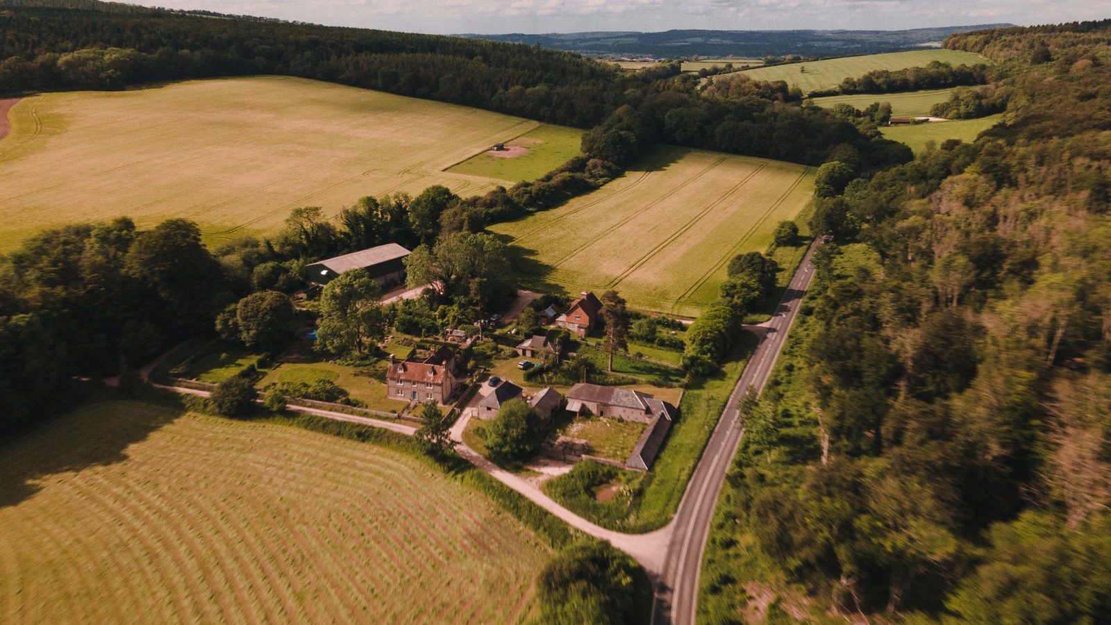
The Areas Module lets teams create GeoRecords that map and define the key features of any site, from buildings, car parks and pitches to fields, zones and routes. Once outlined, areas and lengths are calculated automatically, giving managers reliable measurements for planning work, ordering materials, setting budgets and briefing contractors. It is the free starting point for every ClerePlan site.
Module
Health & Safety Module
The Health & Safety Module gives teams a structured way to record hazards, near misses, incidents, inspections and safety equipment directly on the site map. Each GeoRecord is tied to a precise location, with photographs, actions and review dates, creating a clear and auditable view of risk that supports faster responses and better conversations with insurers, regulators and safety advisers.
Module
Security Module
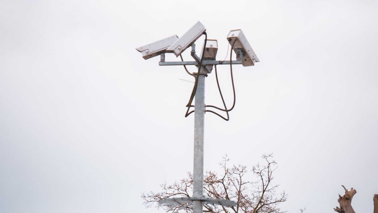
A damaged fence, an unlocked gate or a recurring problem around a store can easily be missed when details sit in different places. The Security Module brings access points, boundaries, cameras, patrol routes and incident histories together on one map, so teams can plan checks, respond faster and refer back to what happened before.
Module
Ecology Module
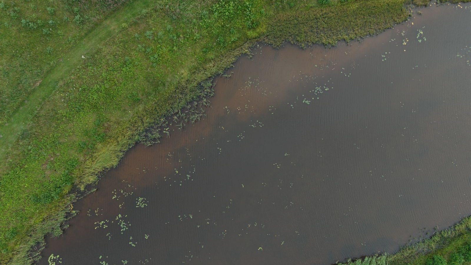
Many sites contain valuable habitats, from hedgerows and woodland to ponds and grassland. The Ecology Module helps teams record habitats, species sightings, protected features and conservation work against their exact location. Over time those records build useful evidence for biodiversity reporting, planning conditions and conversations with ecologists, landowners and local stakeholders.
Module
Assets & Utilities Module
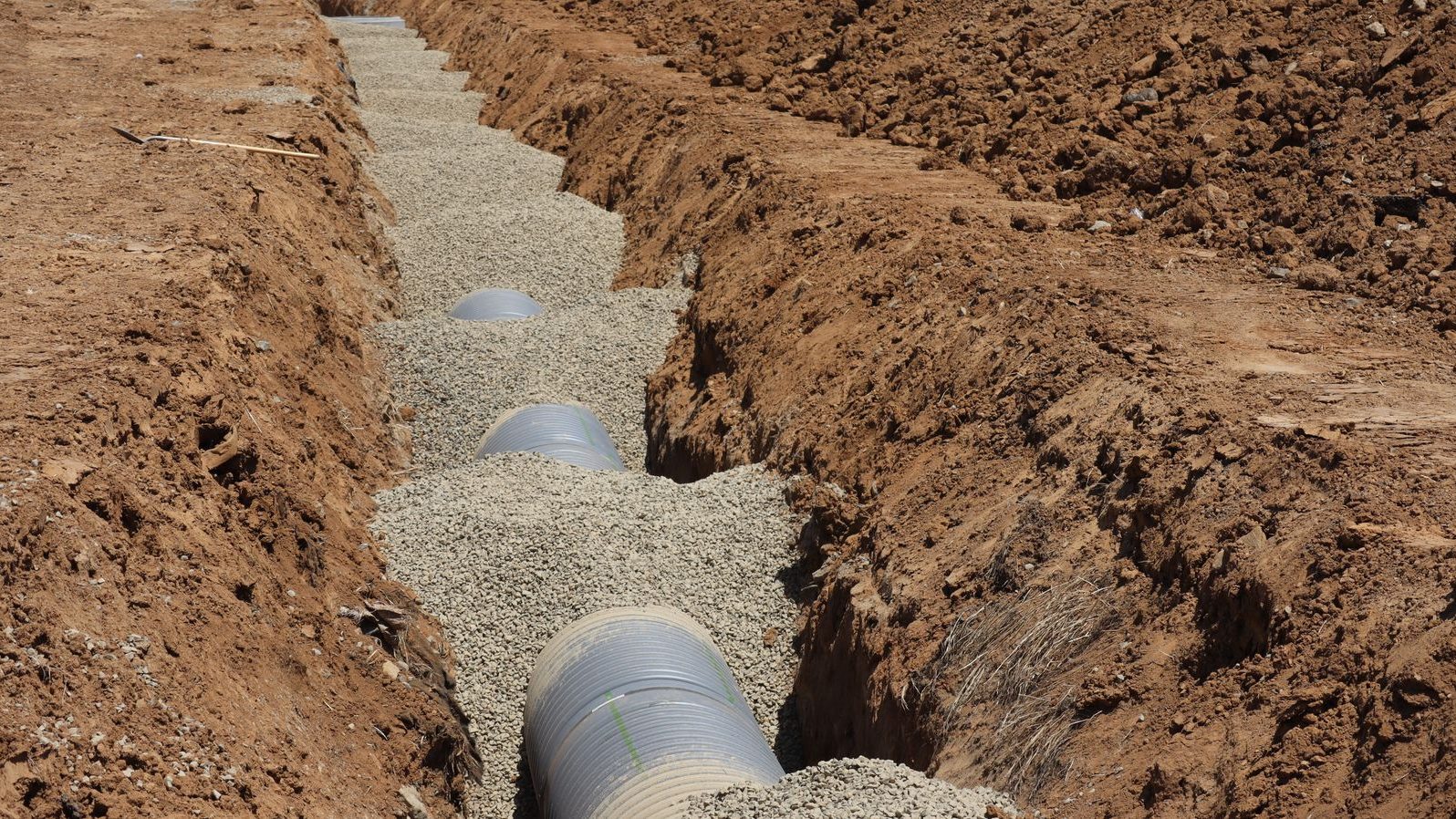
The Assets & Utilities Module keeps a location-based record of the infrastructure that keeps a site running, including water, drainage, power and data runs, valves, covers, lighting and plant. Each asset can hold its specification, condition, photographs and inspection dates, so knowledge is retained when staff or contractors change and planned works avoid costly surprises underground.
Module
Plans & Layouts Module
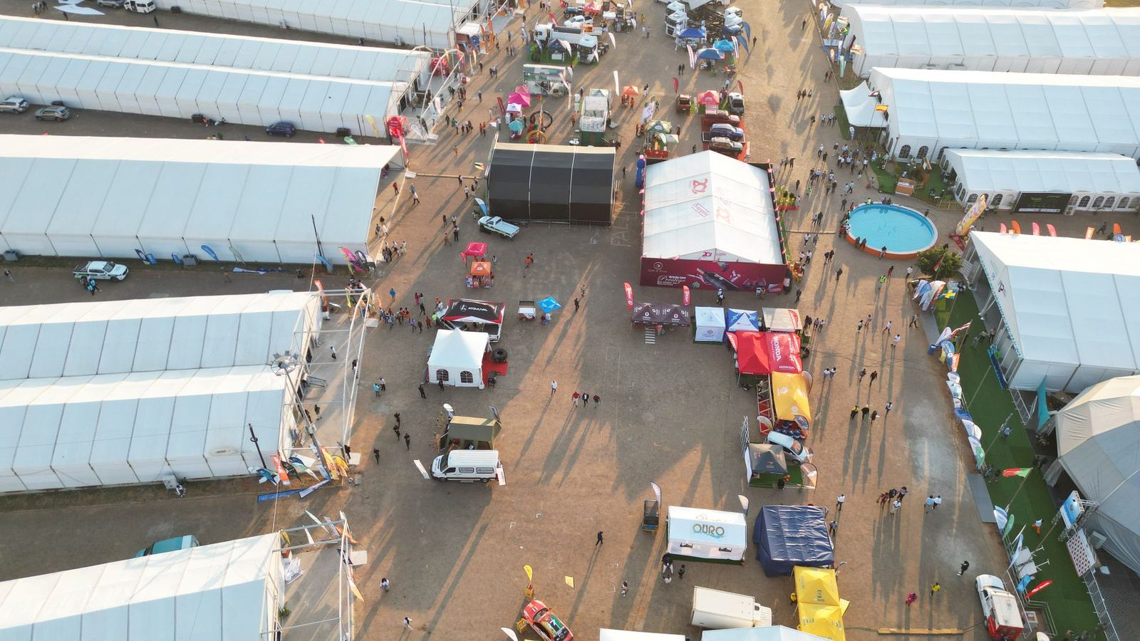
Plans & Layouts lets teams draw temporary structures, fencing, routes and equipment to scale on their site map, then save each layout by event, date and build phase. Plans can be shared with suppliers, safety advisers and colleagues, compared with previous years and reused, so every event starts from what worked last time rather than a blank page.
Coming soon
Sector modules
Each sector will get its own modules, built on the core modules above. See what they will help you do on each sector page.
Not sure which modules you need?
Start with the free Areas module, or tell us about your site and we'll recommend a set-up.