
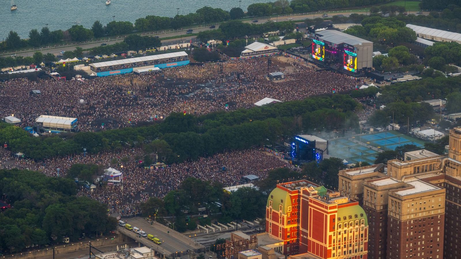
ClerePlan for events and festivals
Plan your event on a map you can trust
From the first site visit to the last van off site, ClerePlan keeps infrastructure, safety and live operations on one shared, accurate map.
The problem
Sound familiar?
Site plans redrawn in PowerPoint, CAD and Google Maps, with no single current version
Safety Advisory Groups, suppliers and contractors all working from different drawings
Last year's layout, lessons and incident history lost when the team changes
What you can do
How ClerePlan helps events and festivals
Sector modules for events and festivals are in development. Here is what they will let your team do, on the same map as the core modules below.
Every stage, fence and cable run, to scale.
The Event Infrastructure Module helps organisers plan stages, structures, fencing, gates, toilets, generators, cable runs and trackway on an accurate map of the site. Quantities and lengths are calculated as you draw, supplier details sit with each item, and build sign-offs are recorded where they happen, giving production teams one shared plan from load-in to derig.
Capacities and routes you can stand behind.
The Crowd & Capacity Module lets event teams map crowd zones, entrances, exits and emergency routes, then work out areas, capacities and exit widths from the same drawing. Rendezvous points and blue-light routes sit on the same map, giving safety officers and Safety Advisory Groups a clear, consistent picture of how people will arrive, move and leave.
Care points that everyone can find.
The Medical & Welfare Module records first-aid posts, welfare and lost-children points, drinking water and accessible viewing areas, along with the provider, staffing and opening hours for each. During the event, treatments and incidents can be logged against their location, giving medical leads a clear post-event record to inform the next plan.
One live picture for your control room.
Event Control gives control rooms a live, map-based log of what is happening across the site. Steward positions, car parks, road closures and radio zones sit alongside incidents and decisions as they are recorded, each linked to a time and place. After the event, the same record supports a structured debrief and a better plan for next year.
Available now
Core modules for events and festivals
Start with the free Areas module and add the core modules your site needs.
Areas
IncludedMap and measure buildings, zones, surfaces and routes, with areas and lengths calculated automatically.
Health & Safety
IncludedRecord hazards, near misses, incidents, inspections and safety equipment on the site map.
Security
IncludedBring access points, boundaries, cameras, patrol routes and incident histories together on one map.
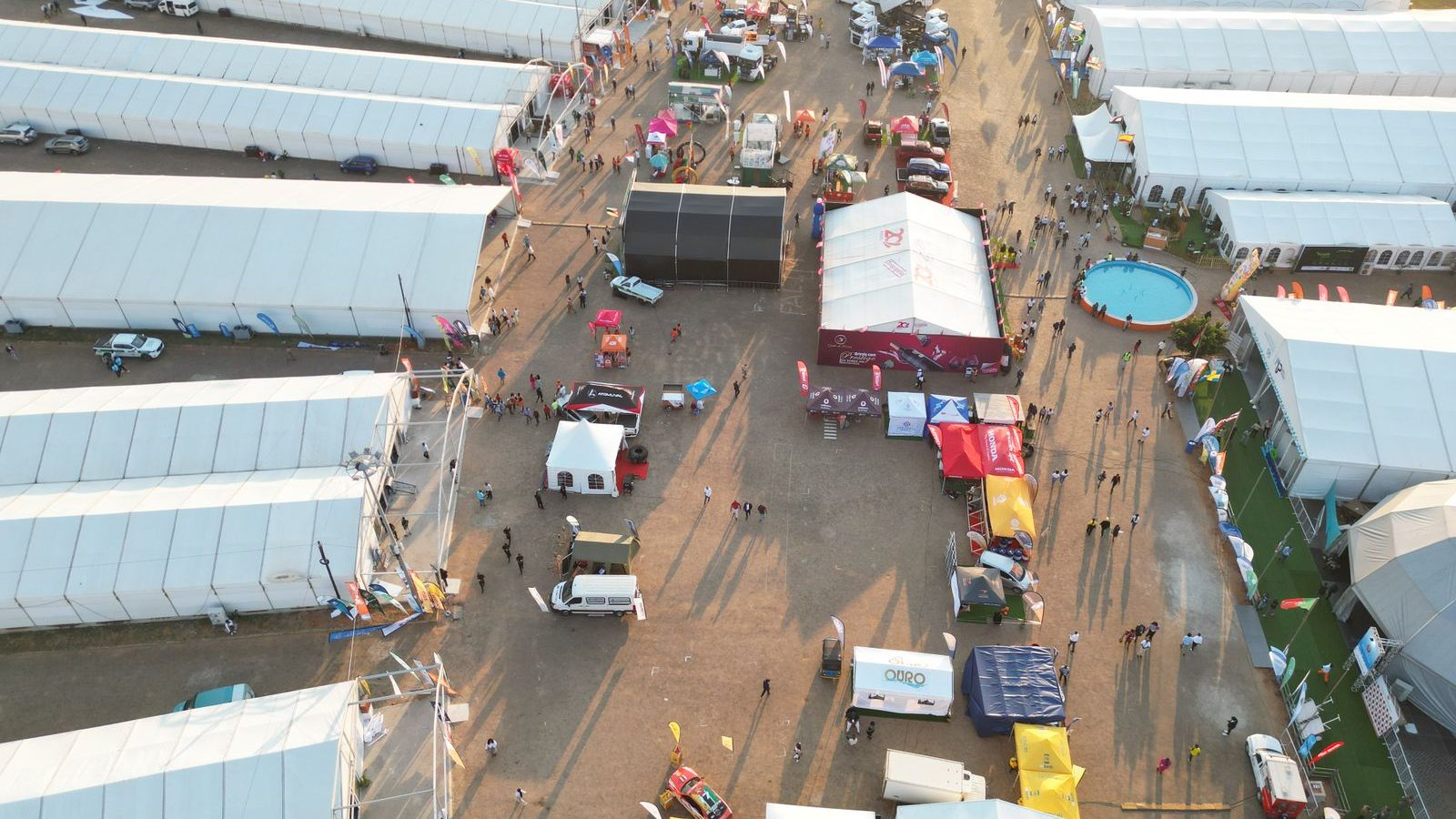
Plans & Layouts
IncludedDraw temporary layouts to scale, save them by event and build phase, and reuse what worked last time.
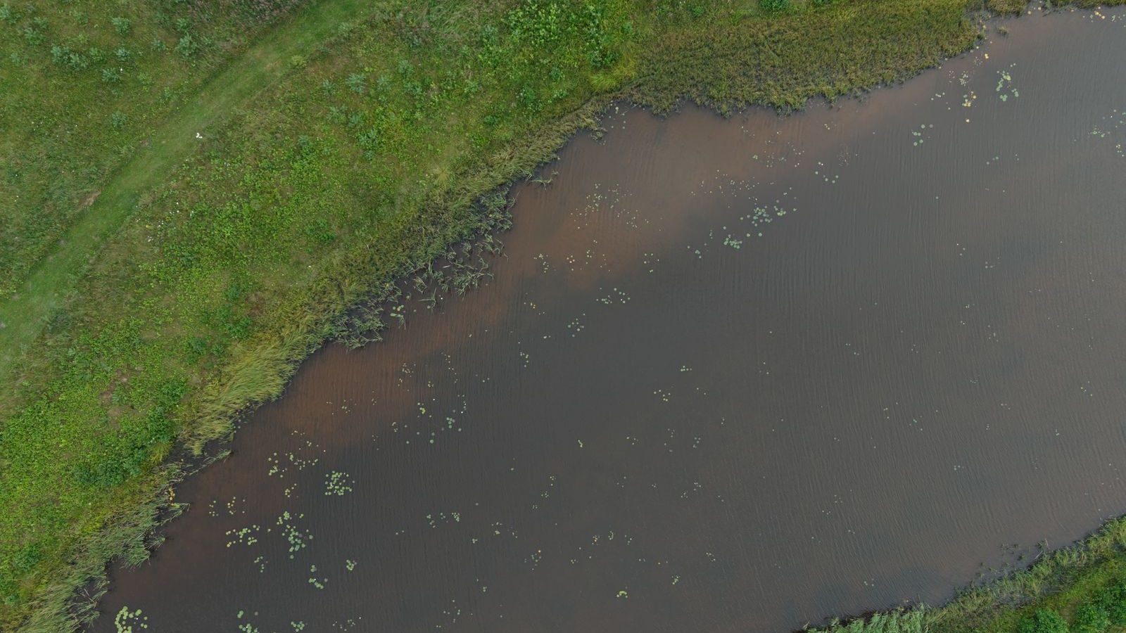
Ecology
Optional add-onRecord habitats, species sightings, protected features and conservation work against their exact location.
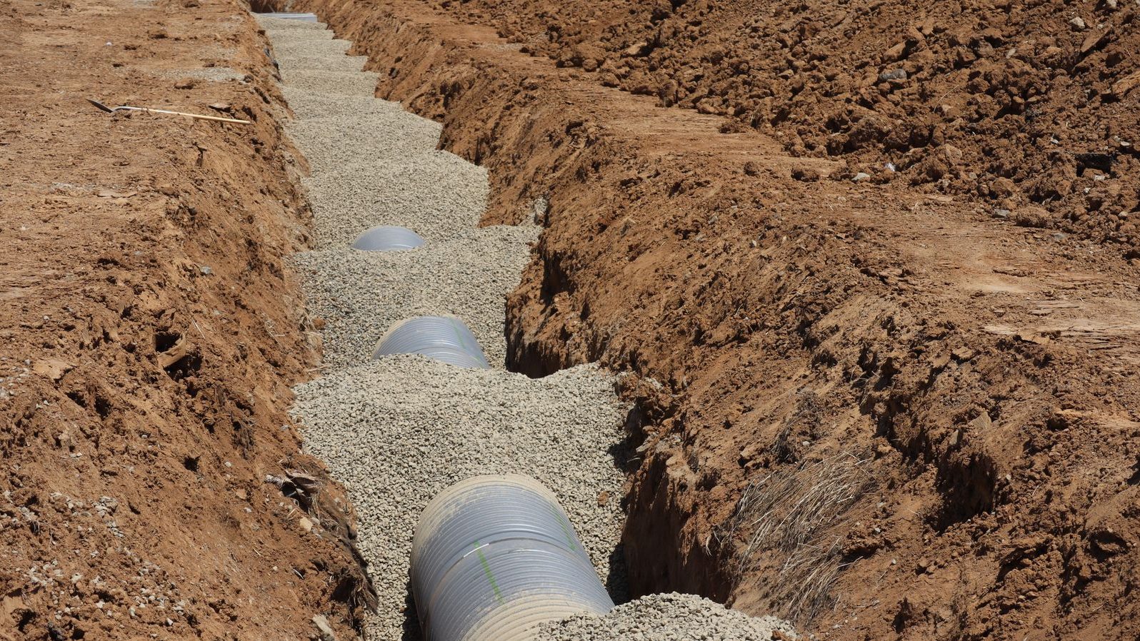
Assets & Utilities
Optional add-onKeep a location-based register of water, drainage, power and data runs, valves, covers, lighting and plant.
Map your next event. Book a demo or start free.
Built on proven technology: ClerePlan runs on the same platform as Clere Golf Hub, used to plan and manage some of golf's best-known venues and events.