
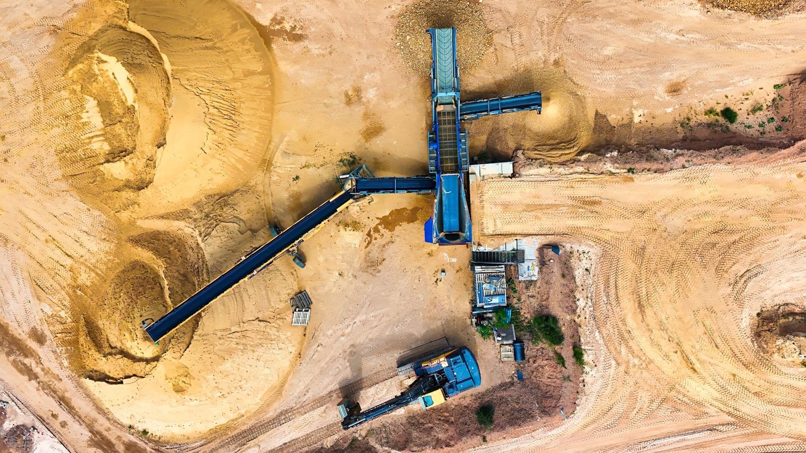
ClerePlan for mining and quarrying
A clear, current map of your quarry
ClerePlan helps quarry teams record excavations, tips, haul roads, blasting and restoration against the exact place they relate to, as the site changes.
The problem
Sound familiar?
Inspection and appraisal records kept apart from the features they describe
Traffic management plans that lag behind a working face that moves every week
Planning conditions, monitoring and restoration evidence spread across files and inboxes
What you can do
How ClerePlan helps mining and quarrying
Sector modules for mining and quarrying are in development. Here is what they will let your team do, on the same map as the core modules below.
Faces, tips and lagoons, clearly recorded.
The Excavations & Tips Module helps quarry managers map faces, benches, tips, stockpiles and lagoons, then record geotechnical assessments, inspections and monitoring points against each one. Classifications, inspection dates and competent-person reports stay with the feature they describe, giving a clear, auditable record of how excavations and tips are being appraised and managed.
Safer routes for plant and people.
Haul Roads & Traffic gives quarry teams a mapped record of haul roads, edge protection, junctions, speed zones and pedestrian exclusion areas. Widths, gradients and bund details are recorded against each section, and inspections and defects can be logged on the spot, helping managers keep traffic management plans current as the site develops.
Every shot planned, cleared and recorded.
The Blasting & Exclusion Module lets teams map each blast area with its exclusion zone, sentry positions and vibration monitoring points. Shot details, clearance checks, post-blast inspections and monitoring results are stored against the shot location, building a clear history that supports blast planning, neighbour enquiries and evidence against permission conditions.
Permissions, monitoring and restoration in one place.
The Restoration & Environment Module maps planning permission boundaries, working and restoration phases, stand-off areas and monitoring points for dust, noise and water. Readings, permit references and restoration progress are kept against their location, helping operators show how conditions are being met and plan the long-term after-use of the site.
Available now
Core modules for mining and quarrying
Start with the free Areas module and add the core modules your site needs.
Areas
IncludedMap and measure buildings, zones, surfaces and routes, with areas and lengths calculated automatically.
Health & Safety
IncludedRecord hazards, near misses, incidents, inspections and safety equipment on the site map.

Security
IncludedBring access points, boundaries, cameras, patrol routes and incident histories together on one map.
Ecology
IncludedRecord habitats, species sightings, protected features and conservation work against their exact location.
Assets & Utilities
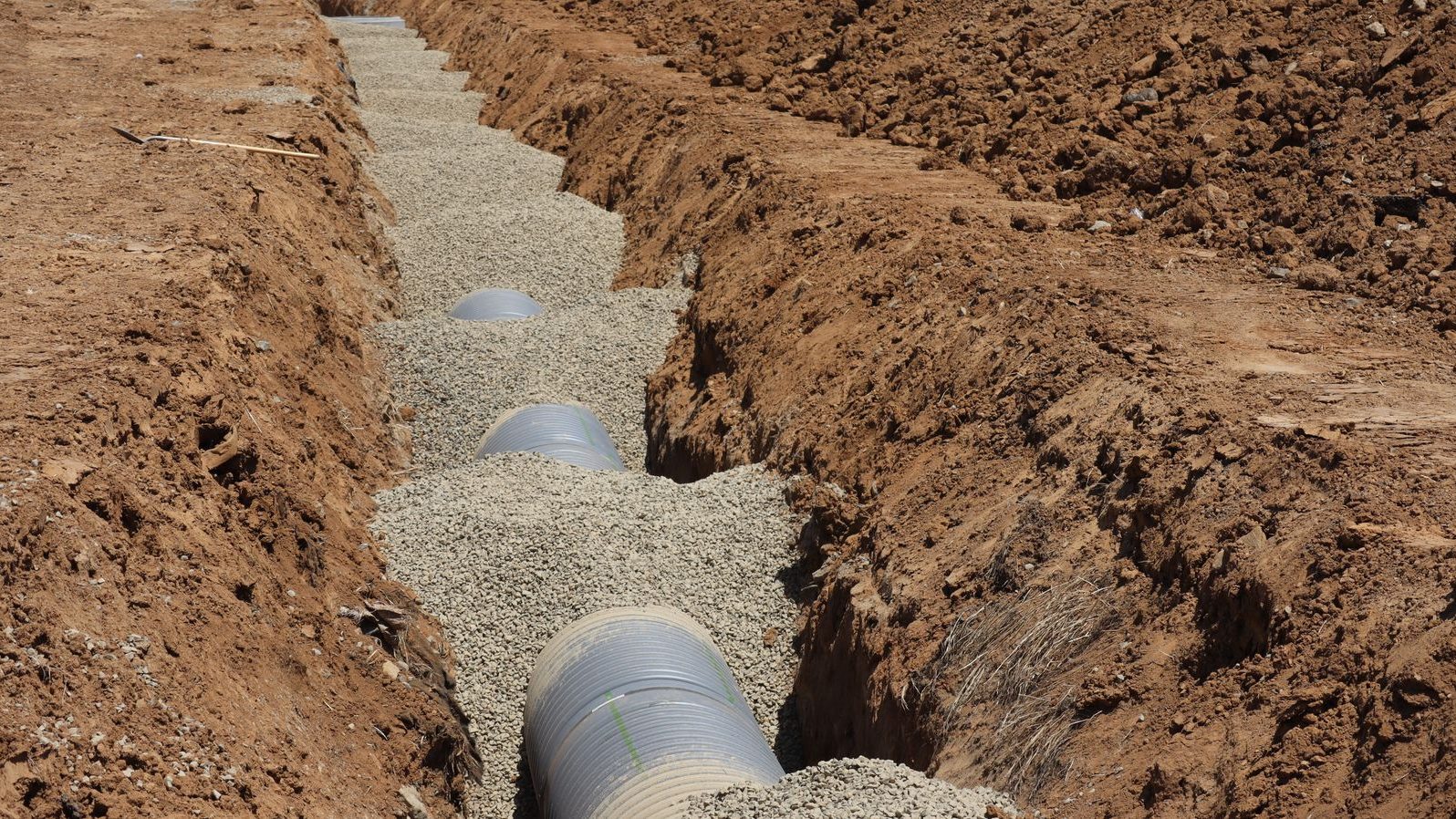
IncludedKeep a location-based register of water, drainage, power and data runs, valves, covers, lighting and plant.
Book a demo for your site.
Built on proven technology: ClerePlan runs on the same platform as Clere Golf Hub, used to plan and manage some of golf's best-known venues and events.